

Heavy monsoon rain forecast across Pakistan in coming days
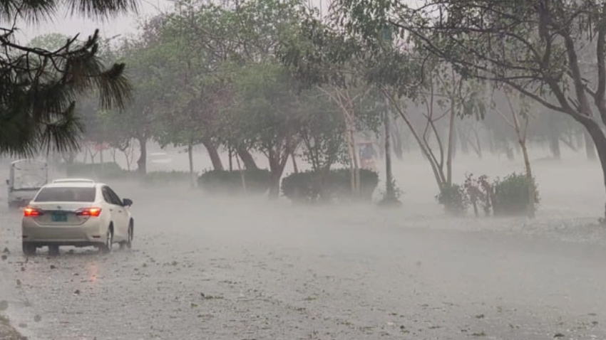
Rain expected in Kashmir
Kashmir is expected to receive rain, wind, and thunderstorms from September 3 to 6, with occasional breaks in the weather.
The forecast includes Neelum Valley, Muzaffarabad, Rawalakot, Poonch, Hattian, Bagh, Haveli, Sudhanoti, Kotli, Bhimber and Mirpur.
Some areas could receive isolated heavy rainfall during the forecast period.
Residents in vulnerable areas are advised to remain alert as weather conditions may change quickly during thunderstorms and heavy showers.
Islamabad and upper Punjab face heavy rain
Islamabad, Rawalpindi and several districts of upper Punjab are also likely to receive rain and thunderstorms from September 3 to 5.
The affected areas include Murree, Galiyat, Jhelum, Chakwal, Talagang, Attock, Lahore, Sialkot, Sheikhupura, Narowal, Mandi Bahauddin and Gujrat.
Gujranwala, Wazirabad, Hafizabad and Kasur are also included in the forecast.
Some locations could experience isolated heavy or very heavy rainfall, particularly as the weather system strengthens.
More Punjab areas to receive rain
Rain and thunderstorms are also expected in several other parts of Punjab on September 4 and 5.
The forecast includes Okara, Nankana Sahib, Sargodha, Khushab, Mianwali, Noorpur Thal, Faisalabad and Jhang.
Toba Tek Singh, Layyah, Bhakkar, Sahiwal, Dera Ghazi Khan and surrounding areas may also receive showers.
The weather could improve temporarily between spells, with occasional gaps expected during the forecast period.
Khyber Pakhtunkhwa likely to see heavy showers
Khyber Pakhtunkhwa is also expected to experience widespread rain and thunderstorms from the evening or night of September 3 until September 5.
Peshawar, Dir, Chitral, Swat, Kohistan, Malakand, Mardan, Nowshera and Charsadda are among the areas included in the forecast.
Swabi, Shangla, Battagram, Buner, Kohat, Hangu, Kurram, Bajaur, Mohmand and Khyber are also likely to receive rain.
The forecast also covers Orakzai, Mansehra, Abbottabad, Haripur, Karak, Tank, Lakki Marwat, Dera Ismail Khan, Bannu and Waziristan.
Scattered heavy rainfall, at times very heavy, is possible in some parts of the province.
Gilgit-Baltistan is also under weather watch
Several parts of Gilgit-Baltistan are expected to receive moderate rain and thunderstorms from September 3 to 6.
Also Read: Heavy rain triggers high alert in twin cities, kills 2 in KP
The affected districts include Diamir, Astore, Ghizer, Skardu, Hunza, Gilgit, Ghanche and Shigar.
Isolated heavy rainfall is also possible in some areas. Mountainous regions could face additional risks during heavy rain, particularly near streams and vulnerable slopes.
Sindh and Balochistan to remain mostly hot
Most parts of Sindh and Balochistan are expected to remain hot and humid during the forecast period.
However, some areas of northern Balochistan could receive rain and thunderstorms.
Zhob, Barkhan, Musakhel and surrounding areas are expected to see rainfall.
The weather contrast means northern and western parts of the country may experience rain, while much of Sindh and other areas remain hot and humid.
River flows could increase
The expected rainfall is also important because several upper catchment areas are likely to receive additional rain. The latest PMD Flood Forecasting Division outlook says rainfall activity is expected across the upper catchments of major rivers, upper Punjab and upper Khyber Pakhtunkhwa until September 5.
The department has also warned that flows in major rivers and their associated nullahs could increase moderately during the period. The Flood Forecasting Division has said flows at some major Indus, Jhelum, Chenab and Ravi stations and nearby nullahs could reach medium flood levels between September 4 and 5.
What residents should watch for
The combination of monsoon currents and the strengthening westerly wave could produce sudden heavy showers in vulnerable areas. People living near rivers, streams and other waterways should remain alert during periods of heavy rain.
Urban areas may also face temporary water accumulation if intense rainfall occurs over a short period. Motorists should take extra care on wet roads and avoid unnecessary travel during severe thunderstorms.
Weather system to strengthen
The westerly wave is expected to become stronger on September 4 and 5. This could increase rainfall activity across northern areas during the middle of the forecast period.
The impact will vary from one district to another. Some areas may receive only light or moderate rain, while others could experience heavy downpours. Authorities and residents in vulnerable areas are therefore advised to closely monitor updated weather and flood advisories.


