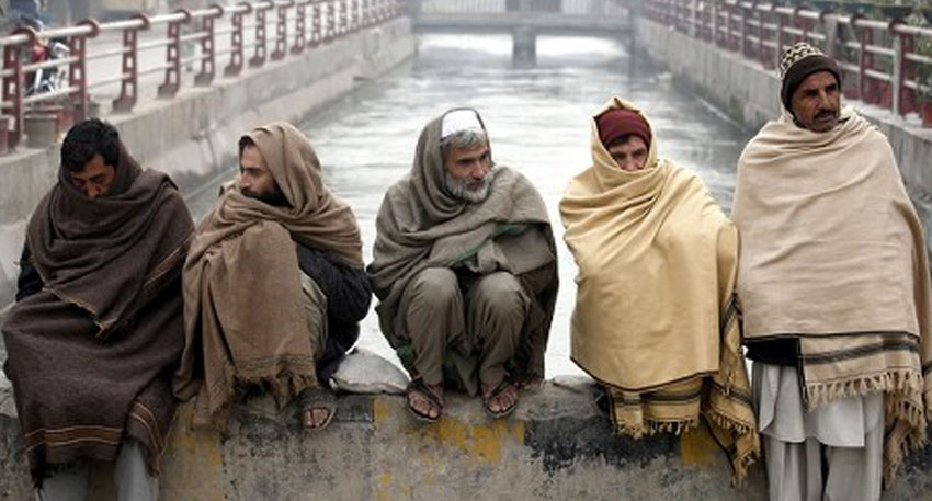
Meteorologists are raising the alarm as early signs point to the return of La Niña, a global climate pattern that could bring colder, more severe winter conditions to many parts of the world. According to the U.S. Climate Prediction Center and several other climate monitoring agencies, cooler-than-average sea surface temperatures are beginning to develop in the central and eastern Pacific Ocean—an early indication that La Niña may be on its way.
La Niña, which translates to "The Little Girl" in Spanish, is the cold phase of the El Niño–Southern Oscillation (ENSO) cycle. It is characterized by a significant drop in sea surface temperatures along the equatorial Pacific, which in turn alters atmospheric circulation patterns across the globe. These changes can have wide-ranging effects on weather, often shifting jet streams and storm tracks in ways that intensify winter conditions.
If La Niña fully develops in the coming months, meteorologists say it could lead to earlier and more frequent frost events, cold waves gripping large regions, and heavier snowfall, particularly in mountainous or northern areas. Even a weak La Niña has been known to trigger notable drops in temperature, and forecasters caution that the impacts this year could be amplified by other existing climate variables.
Current ocean observations reveal cooling trends that align with La Niña onset criteria. While not yet fully formed, the trend is strong enough for forecasters to issue a La Niña watch, warning of a growing likelihood that the pattern will emerge by late fall or early winter. Climate models now suggest a 60 to 70 percent chance of La Niña conditions solidifying in the coming months.
Historically, La Niña winters are associated with colder-than-average temperatures across large parts of North America, Northern Europe, and Central Asia. The phenomenon often results in longer cold spells and can increase the severity and duration of winter storms. In North America, for example, La Niña tends to push the polar jet stream further north, drawing frigid Arctic air into the continental interior.
Beyond its winter implications, La Niña can disrupt global weather patterns in other ways. It often brings above-average rainfall to Australia and parts of Southeast Asia, while increasing the risk of drought in regions such as East Africa and the southwestern United States. It may also contribute to a more active Atlantic hurricane season by reducing upper-level wind shear that typically suppresses storm formation.
Meteorologists stress that while La Niña is only one factor in a complex climate system, its influence is strong enough to merit early preparations. Communities may need to prepare for earlier heating demands, possible power disruptions, and heightened risks to agriculture due to sudden cold snaps or extended frost.
Also Read: ‘Bad things are going to happen’, Trump issues stern warning over Bagram Air Base
As global climate conditions continue to evolve, the coming months will be critical in determining whether La Niña fully materializes—and how strongly it might shape the winter season. Experts recommend staying informed through official forecasts and weather advisories as the situation develops.


