The SUPARCO (Pakistan Space and Upper Atmosphere Research Commission) spokesperson declared the launching of remote sensing satellite stating it another step forward in space technology.
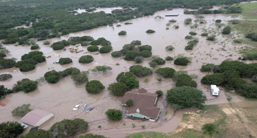
The satellite will serve a key function in monitoring crops, collecting agricultural data, and urban planning, SUPARCO officials said. It is also used to issue early warnings of natural disasters like floods, earthquakes, and landslides, greatly improving disaster management capabilities in Pakistan.
In addition, the satellite will be used in observing the melting of glaciers, monitoring forest loss, and monitoring environmental degradation. It will play an important role in natural resource management and watching over climate-related events in the entire region.
Also Read: WhatsApp to roll out 5 new AI features
SUPARCO also said that the satellite will be utilized to support CPEC and other national development initiatives, with enhanced surveillance and project planning being ensured. The new satellite will beef up Pakistan s remote sensing fleet by complementing existing satellites such as PRSS-1 and PakTES-1A (EO-1).
The officials also added that the launch of this satellite represents an important milestone under SUPARCO Vision 2047 and is a concrete development in Pakistan s National Space Policy.
The launch is an indication of Pakistan s increasing interest in space-based technology for national development, environmental monitoring, and disaster preparedness.


